
Trace a Bristol Street by Address
The first question on a Bristol street search should be what the record can actually prove. TPAD connects a property address to a parcel and an owner field. That is useful for property research, but it does not establish who presently occupies a house. The next steps add context: the GIS viewer shows the street and parcel geometry, the Register can locate instruments through names and legal-description clues, and the Bristol Public Library street guide supplies historical household listings. Treat each record as a dated fact rather than as a current resident claim.
A full named-street investigation is parcel by parcel. Deed indexes are organized around parties and legal descriptions, not a permanent house number. The voter lookup is not a public street roster. This sequence keeps the Bristol street directory focused on records that are actually searchable by address.
- Enter the address or street name in TPAD after selecting Sullivan County, and keep the parcel components with the result.
- Use the county GIS viewer to locate the street segment and compare mapped parcel geometry.
- Ask the Register for an instrument using parties, date, document reference, or legal description.
- Use the Hill household and street guide for a historical address snapshot, then check the Tennessee or Virginia side.
Bristol Street Queries in TPAD
Tennessee Property Assessment Data is the most structured local starting point for a Bristol address. Its simple search allows a property address, owner name, or parcel ID. Advanced Search accepts a street in the Property Address field, and a street number is optional. A broad street entry can be sorted by Property Address or Owner Name, then narrowed with Control Map, Group, Parcel, Subdivision, or Sale Date. Keep the displayed Tax Year and Data Last Updated with any notes, because an assessment result is not timeless.
The result grid has Owner, Property Address, Control Map, Group, Parcel, Parcel ID, Subdivision, Lot, Class, Special Interest, and Sale Date fields. It does not expose a verified non-owner household list, utility customers, or a guaranteed current owner mailing address. A property owner may not live at the location.
| TPAD search field | Street-directory use | Format or limit |
|---|---|---|
| County | Sets the jurisdiction | Select Sullivan County, jurisdiction 082. |
| Property Address | Search a street or address | Street number is optional. |
| Owner | Compare a known name | Normal or initial form can be used. |
| Control Map, Group, Parcel | Preserve parcel clues | Use them with the legal description. |
| Sort By | Order a broad result set | Owner, address, parcel, subdivision, class, or sale date. |
The Sullivan County Property Assessor explains its assessment, map, and tax-roll role.

TPAD gives the address-to-parcel starting point that makes later map and deed work more precise.
Map a Bristol Street Parcel
The Sullivan County interactive zoning map has verified address search plus zoning-layer on/off and transparency controls. Use it to find a street segment, see parcel geometry, and keep an address anchored on the correct side of a road or subdivision. The Assessor's mapping program updates master digital maps for subdivisions, surveys, splits, and combinations. That makes the viewer a useful orientation layer before looking up an individual parcel in TPAD.
The map is not a legal survey. The available research does not verify a public buffer, radius, measurement, or owner-mailing widget, so no such feature should be assumed. Mapped parcels that touch each other may be separated by an easement, road, or boundary condition. Use a recorded description or an Assessor question when the exact boundary matters.
Bristol Address Facts Defined
A Bristol street address is helpful, but it is not the only key in the record chain. The street location is the situs address. The legal description is the lot, block, subdivision, or metes-and-bounds wording that identifies land in a deed. A tax-roll mailing address, if a particular public record displays it, is where an owner receives correspondence and is not proof of physical presence. These distinctions explain why a deed may be found by parcel information when a modern house number is not in the index.
- Parcel
- A mapped unit of land identified by assessment components.
- Situs address
- The physical street location of the land or building.
- Plat
- A recorded map showing a subdivision, lots, or related land layout.
- Criss-cross directory
- An address-first printed guide that lists householders or businesses by street number.
Preserve the address, map/group/parcel parts, subdivision or lot, and legal-description wording together. They are more dependable across a land trail than a street label alone.
Bristol Records Available by Street
Address-keyed records have different reach. The property record identifies an owner or entity associated with the parcel. GIS shows its mapped setting. A recorded deed identifies parties to a transfer. The City can have a permit or code file tied to a project address. Bristol Public Library's street guide gives historical household or business listings. These sources can reinforce one another when their dates and jurisdiction match, but they do not combine into a current Bristol street directory of residents.
| Address record | Keeper | What it provides | Boundary |
|---|---|---|---|
| Assessment parcel record | TPAD / Sullivan Assessor | Owner, situs address, parcel parts, lot and sale-date lead | Ownership does not equal residency. |
| GIS zoning map | Sullivan County GIS | Address search, parcel setting, zoning/topography context | Not a survey or household roster. |
| Recorded deed/index | Register of Deeds | Parties, dates, instrument, book/page | Online coverage is not verified. |
| Permit or code file | Bristol Development Services | Address-specific project material | Request precisely under TPRA. |
| Street guide | Bristol Public Library | Dated household or concern at a number | Selected years, combined Twin City. |
A street sequence may reveal adjacent land records, but not a verified roster of people who live there. For a single individual, use the more focused Bristol resident lookup process after finding a supported record lead.
Bristol Deeds Along a Street
The Register of Deeds is the keeper for instruments affecting real property. Tennessee's statutory indexing approach provides the backward method. A direct, or grantor, index begins with the party transferring an interest and records the grantee, instrument type, dates, and book/page. A reverse, or grantee, index begins with the recipient. Start with the current acquisition instrument for the parcel, record the seller, then find that seller's earlier acquisition as a grantee. The chain follows legal description continuity rather than a familiar house number.
The Register's present online-record link routes to an external title-search interface. An unauthenticated review did not verify its start year, document images, fields, or fees. Call or visit the Register at 3411 Hwy 126 in Blountville for a document question. Older Sullivan deed books and indexes have a further route through the Tennessee State Library and Archives microfilm inventory.
The current online-document destination is the Register's external search channel.
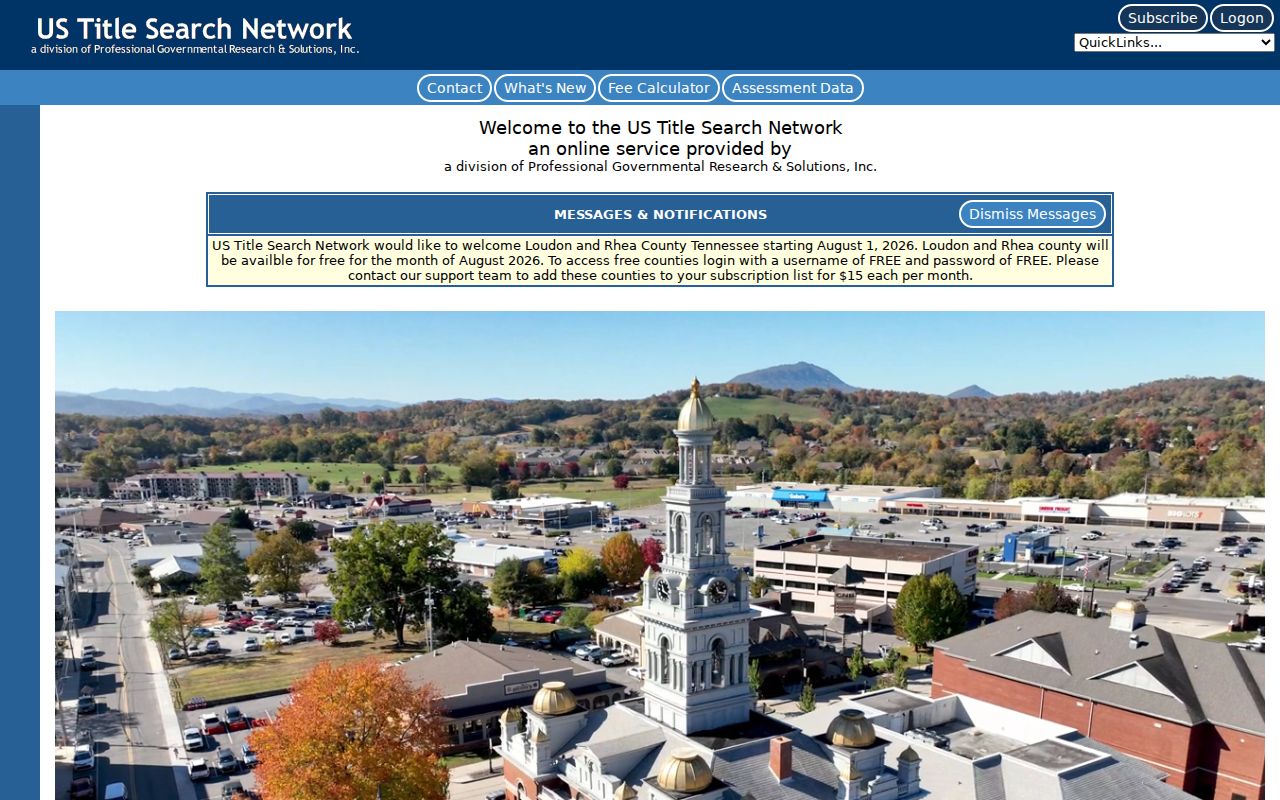
Because the public landing screen does not establish record coverage, a parcel-based request to the Register is safer than guessing an online cutoff.
Bristol Permit Files by Address
A City permit or code file can add a project date, applicant, contractor, or work description to an address history. Bristol Development Services and Code Enforcement publish application paths for residential and commercial building work, certificates of occupancy, demolition, grading, utilities, HVAC, plumbing, signs, and other work. There is no verified public permit-by-address search portal. The accurate route is a focused public-records request that gives the property address, an approximate period, and the desired permit or code record.
Development Services is at 104 8th Street and lists 423-989-5514. The City Attorney acts as Public Records Request Coordinator, and the form asks for enough detail to identify existing material. The City says building-permit requests are an exception to the ordinary Tennessee-citizenship proof requirement on its public-records page. A permit applicant is an address-associated person or firm, not necessarily an owner or enduring resident. The distinction matters when the street directory is used for property history or civic transparency.
Bristol's Historic Street Guide
Bristol Public Library's selected digitized city directories provide an older reverse layer for a street. The 1934 Hill directory introduction says named streets are arranged alphabetically, numbers are arranged numerically under a street, and householders or concerns appear opposite the number. Crossings include intersecting streets. That makes the guide more useful for an old address than an alphabetical list alone. The same volumes can add occupation, spouse notation, telephone details in the editions that printed them, and a business context.
The available run is selected, not annual, from 1896-97 through 1948-49. Search the nearest volumes on either side of an event. A historical household listing is a dated directory observation, not proof of continuous occupancy. The City Directory collection is the right destination for the full volume list and reading method.
State Street and Bristol Jurisdiction
State Street is not merely a useful street name. It is the Tennessee-Virginia boundary. Bristol's original 1852 survey reached across both states, and the line was fixed in the center of what became State Street in 1881, followed by the 1903 Tennessee cession that moved it into the street center. A Bristol street-directory entry, deed lead, or printed business address must therefore be placed on the correct side before the Sullivan County chain is used.
That is a stronger local caution than an invented renumbering story. No official source located a citywide Bristol renumbering year. For an old address, use the directory's intersections, the 1907 and 1913 Sanborn maps, parcel clues, and legal description to bridge the address evidence.
Limits of a Bristol Street Directory
A street search can establish land ownership, recorded transaction parties, mapped setting, certain project files, and historical directory household entries. It cannot reliably reveal everyone who lives at each address. TPAD does not enumerate non-owner occupants or household members. The Tennessee voter tool requires an individual match and cannot browse a street. Utility records are confidential under Tenn. Code Ann. § 10-7-504(a)(20), and motor-vehicle data has federal restrictions. Safe at Home protections also override ordinary address expectations.
For current property questions, confirm with the appropriate custodian. For historical household questions, compare dated directory, map, and deed evidence without treating any single entry as conclusive.